
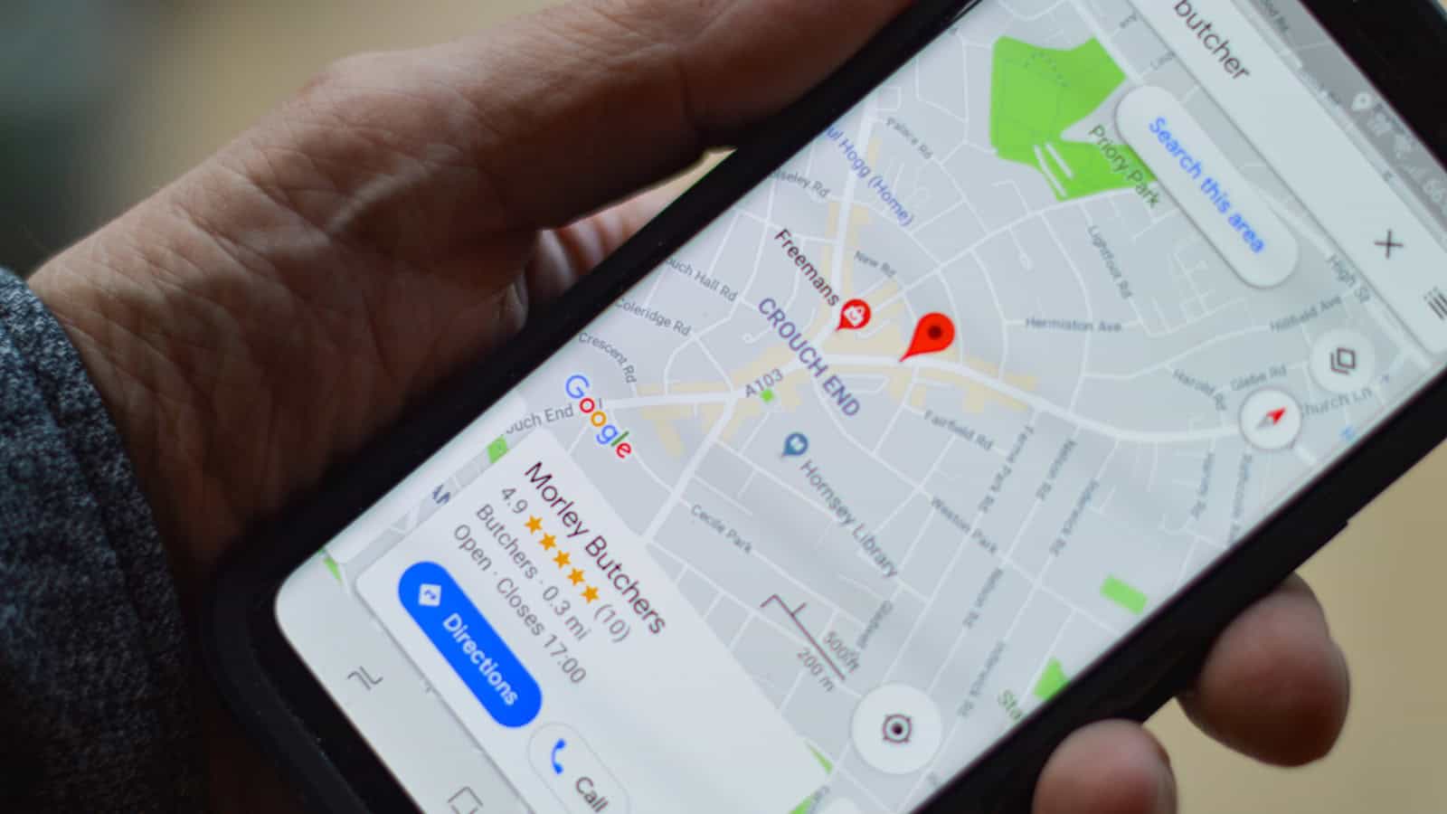
Signal dies in the mountains. It dies in parking garages, on rural highways, in the middle of a foreign city where your roaming plan just quietly gave up. And that’s exactly when you need directions most.
Google Maps has had an offline mode for years, but most people either don’t know it exists or set it up wrong and assume it’s broken. Here’s how to actually make it work.
The quick answer: Open Google Maps, tap your profile picture in the top right, and choose Offline maps. Tap Select your own map, pinch and drag the rectangle over the area you want, then hit Download. That region now lives on your phone. When you lose signal, Maps automatically falls back to it. You still get turn-by-turn driving directions, business names, addresses and search within that box. What you lose is live traffic, walking and transit directions, rerouting around jams, Street View and satellite imagery. Downloads expire after roughly a year unless you enable auto-update, and each region is capped at a size limit, so big areas need to be split into two or three overlapping downloads. Do it on Wi-Fi before you leave.
Why offline maps aren’t on by default
Google Maps is a live product. Traffic, closures, business hours, new roads: all of it streams from Google’s servers as you move. Caching that permanently on every phone would be enormous and stale within weeks.
So Google made it opt-in. You tell it which chunk of the world you care about, and it packages the road network, place names and addresses for that box into a file on your phone. It’s a snapshot, not a live feed. That distinction explains almost every limitation you’ll run into later.
There’s a second reason worth knowing: your phone’s GPS chip does not need mobile data. GPS is a one-way radio receiver listening to satellites. It works in airplane mode, in the desert, on a boat. What data provides is the map to draw your position onto. Download the map ahead of time and you’ve got a fully functional navigation device with zero bars.
How to download an offline map, step by step
- Connect to Wi-Fi. These files are hundreds of megabytes.
- Open Google Maps and tap your profile picture or initial in the top-right corner.
- Choose
Offline maps. - Tap Select your own map.
- A shaded rectangle appears over the map. Pinch to zoom out and drag to reposition until it covers what you need. The estimated download size updates as you resize.
- Tap Download.
Maps also suggests regions automatically: usually your home area and places you’ve searched recently. Those shortcuts are fine, but the manual rectangle gives you control, and control matters when you’re covering a route rather than a city.
Downloading a route instead of a city
If you’re driving four hundred miles, a square around your destination is useless for the middle of the trip. You’ve got two options.
First, search for your destination, tap the place card, and look for a Download option in the menu: Maps will offer to save the area around that place. Second, and better for long routes, drag the rectangle so it’s a long thin shape following your highway. A wide, short box covering the corridor uses far less data than a square covering everything either side of it.
For genuinely long trips, just do three or four downloads: start region, two middle chunks, destination region. Overlap them slightly. There’s no penalty for having multiple offline maps beyond storage.
What actually works offline (and what doesn’t)
This is where expectations break. Offline Maps is not a smaller version of online Maps. It’s a different feature set.
Works offline: Driving directions with turn-by-turn voice guidance. Searching for addresses and business names inside the downloaded region. Seeing your blue dot move via GPS. Business phone numbers and addresses. Basic place info that was cached at download time.
Does not work offline: Walking directions. Cycling directions. Public transit directions and schedules. Live traffic. Rerouting to avoid a jam. Lane guidance in some areas. Street View. Satellite and terrain layers. Reviews, photos and current opening hours. Anything outside the box you drew.
The walking-directions gap catches people out constantly, especially travellers. You download a map of Rome expecting to wander on foot, then discover Maps will only route you by car. The workaround is clumsy but real: request driving directions and follow the general shape of the route, or drop a pin at your destination and use the blue dot to navigate by eye. The map itself is fully visible. You just don’t get step-by-step walking instructions.
The traffic thing is a genuine downgrade
Online, Maps constantly recalculates. Crash ahead, it reroutes. Offline, it picked a route based on a static road network and it will stick to it. If that road is closed, you’ll find out by driving into the closure.
So treat offline navigation as “a good map that knows where I am,” not as the usual Maps experience minus a few frills. Plan a bit more. Keep an eye on road signs.
Where the files live and how much space they eat
A dense metro area might run 300-600 MB. A wide rural region can be smaller because there’s less road detail to store. Google caps individual downloads, so if your rectangle gets too big Maps refuses and asks you to shrink it. That’s the signal to split into two.
By default these files sit in internal storage. On phones with a microSD slot, some Samsung and Motorola models still have one, you can move them. In the Offline maps screen, open the settings gear and look for a storage preference that lets you choose the SD card. If you don’t see it, your phone has no removable storage and there’s nothing to change.
If space is the reason you’re hesitating, it’s worth clearing the junk first rather than skipping the download. Our guide on how to free up storage on Android without deleting anything covers the caches and residue that usually account for several gigabytes on a phone that’s been in use a year or two.
Expiry, auto-updates and the silent failure
Offline maps expire. Google gives them roughly a year, then deletes or flags them, because a year-old road network starts being wrong.
The failure mode is nasty: you downloaded a map before a trip eighteen months ago, never thought about it again, and now you’re assuming you’re covered when you’re not. Check the Offline maps screen before you travel. Each region shows an expiry date.
Better, turn on automatic updates. In the Offline maps settings gear you’ll find options to auto-update downloaded regions and to allow downloading over mobile data. Enable auto-update, and leave the mobile-data option off unless your plan is generous: otherwise a refresh could eat several hundred megabytes of your allowance.
Brand-specific things that break offline navigation
The single biggest cause of “offline maps not working” isn’t Maps at all. It’s aggressive battery management killing the app or its location access in the background.
Samsung (One UI): Settings has a Battery section with a list of apps put to sleep. If Maps ends up in Sleeping or Deep sleeping apps, remove it. Also make sure Maps has location permission set to Allow all the time rather than only while in use if you want it running with the screen off.
Xiaomi (HyperOS) and Redmi/POCO: The worst offender. Open the app info for Maps and set battery saver to No restrictions, then enable Autostart. Without those two, background navigation gets killed within minutes.
OnePlus and Oppo (ColorOS): Similar battery optimisation lists. Set Maps to unrestricted and disable any “deep optimisation” or sleep standby feature for it.
Pixel: Generally the least fussy. If Adaptive Battery has learned you rarely use Maps it can still throttle it, so mark the app unrestricted before a long trip.
These same background restrictions cause a long list of odd Android behaviour. If you want to understand what your phone is quietly turning off, our rundown of hidden Android settings that speed up your phone goes through the relevant toggles.
Getting more out of it: practical habits
Download your home city once and set it to auto-update. Signal drops happen locally too (underground car parks, lifts, tunnels) and having your own area cached removes an entire class of annoyance.
Before any flight, download the destination on airport Wi-Fi. It takes two minutes and it means you can navigate from the moment you land, before you’ve sorted a SIM or eSIM.
Star or save the places you’ll need (hotel, station, the restaurant you booked) while you’re still online. Saved places show up on the offline map, which is far easier than trying to search for a business by name with no data.
Turn on Wi-Fi only mode if you’re worried about roaming charges. It’s in Maps settings, and it forces the app to use offline data unless it’s on Wi-Fi. Slightly extreme, but it guarantees no surprise bill.
One myth worth killing: you do not need to be in airplane mode or manually switch anything to use offline maps. Maps detects that it has no usable connection and falls back automatically. If you’re online it’ll prefer live data, which is correct, because live data is better.
When it still says it can’t find a route
If Maps refuses to navigate offline, run through this list. Is your start point and your destination both inside the downloaded rectangle? Routes that leave the box fail. Have you asked for walking or transit rather than driving? Only driving works. Has the region expired? Check the dates. Is location permission actually granted and is GPS switched on? And has the app been force-stopped by battery management, as above?
Nine times out of ten it’s the first one. The rectangle looked big on screen when you were zoomed out, and it turned out to cut off the last twenty miles.
Frequently asked questions
Does Google Maps offline use mobile data at all?
Once the region is downloaded, navigating inside it uses no data. Maps may still make small background requests if it has a connection (checking traffic, syncing your timeline) but the routing and map drawing come from the local file. If you want to be certain, enable Wi-Fi only mode in Maps settings, or put the phone in airplane mode. GPS still works in airplane mode because it only receives satellite signals.
Why can’t I get walking directions offline?
Google only packages the driving road network into offline regions. Pedestrian paths, stairs, pedestrianised streets and transit data aren’t included, so walking, cycling and transit routing all require a connection. You can still see the map, your live position and any saved places, so navigating by eye works fine. For city trips where you’ll mostly walk, consider saving key locations as starred places before you go.
How long do offline maps last before they expire?
Roughly a year from download, though Google has adjusted this over time. Each region shows its expiry in the Offline maps screen. Turn on automatic updates in that screen’s settings so regions refresh themselves over Wi-Fi: otherwise you risk arriving somewhere with an expired map and no signal to fix it.
Can I store offline maps on an SD card?
If your phone has a microSD slot, yes. Open Offline maps, tap the settings gear, and look for the storage preference to switch from device storage to the SD card. Many recent flagships dropped the slot entirely, so if the option isn’t there, that’s why. Moving existing downloads may require re-downloading them after the switch.
The short version
Offline maps take two minutes to set up and remove one of the last real reasons to panic about losing signal. Download your home region, download your destination before every trip, enable auto-update, and make sure your phone’s battery manager isn’t strangling the app in the background. Just remember what you’re getting: a solid driving map that knows where you are, not the full live Google Maps experience. Plan around traffic yourself, and you’ll never be stranded staring at a spinning loading circle again.

A tech Journalist and Photographer, Dhawal Sharma is a technology enthusiast who loves to research the latest innovations and technology. He has contributed to the Honor Community for a very long period and has crucial expertise in writing tech news and reviewing smartphones and laptops. Analyzing and bringing the facts about any piece of tech is what he loves the most. He is a great product photographer and is the Gizmopedia of TheLeaker. Find him on Facebook and Instagram, and you can also email him at [email protected].